As there have been lots of updates recently, I’ve made a new release of all of the code behind map.atownsend.org.uk
There are releases for four repositories - the lua code that does all the hard work, the map style that determines what it looks like, the map legend, and the website for the map itself.
Here’s a summary of what’s new:
Natural features
Rocky features are now shown in more detail:
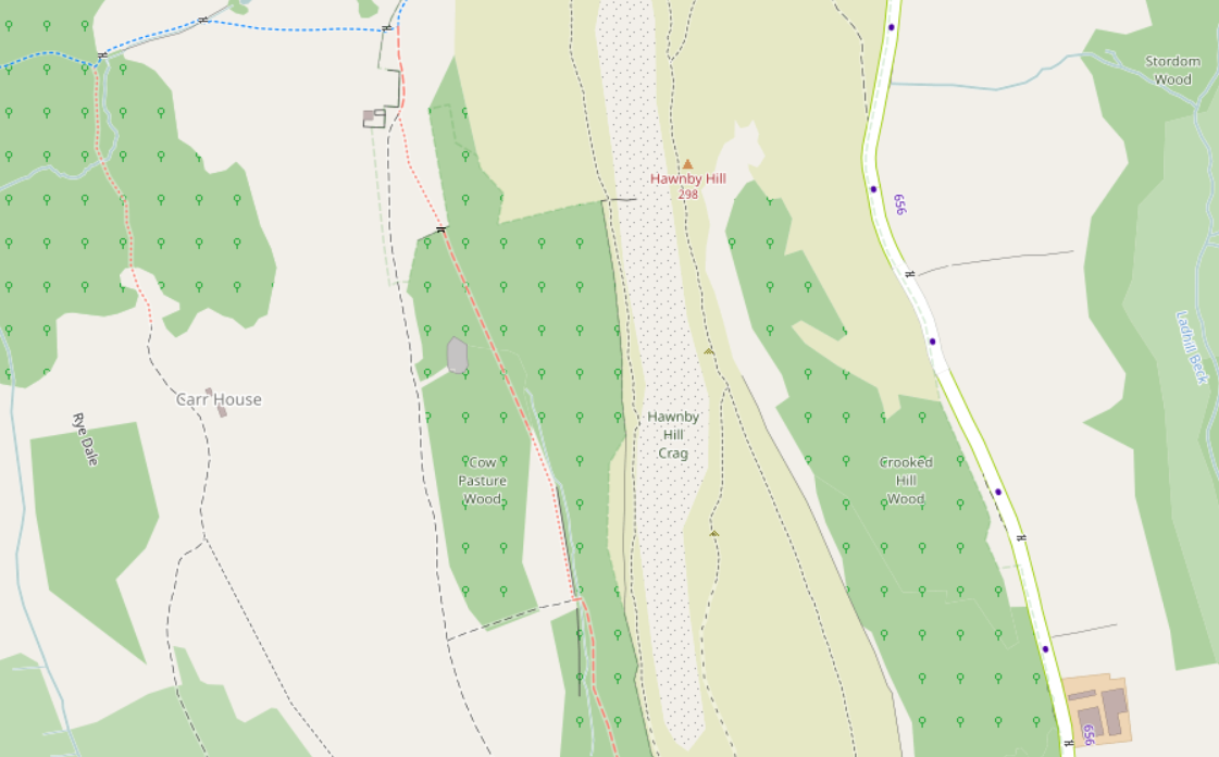
I’ve been struggling for some time to get a distinct representation for different landuse features - scree different from bare_rock, for example. I finally came up with a series of different dot patterns that hopefully differentiates.
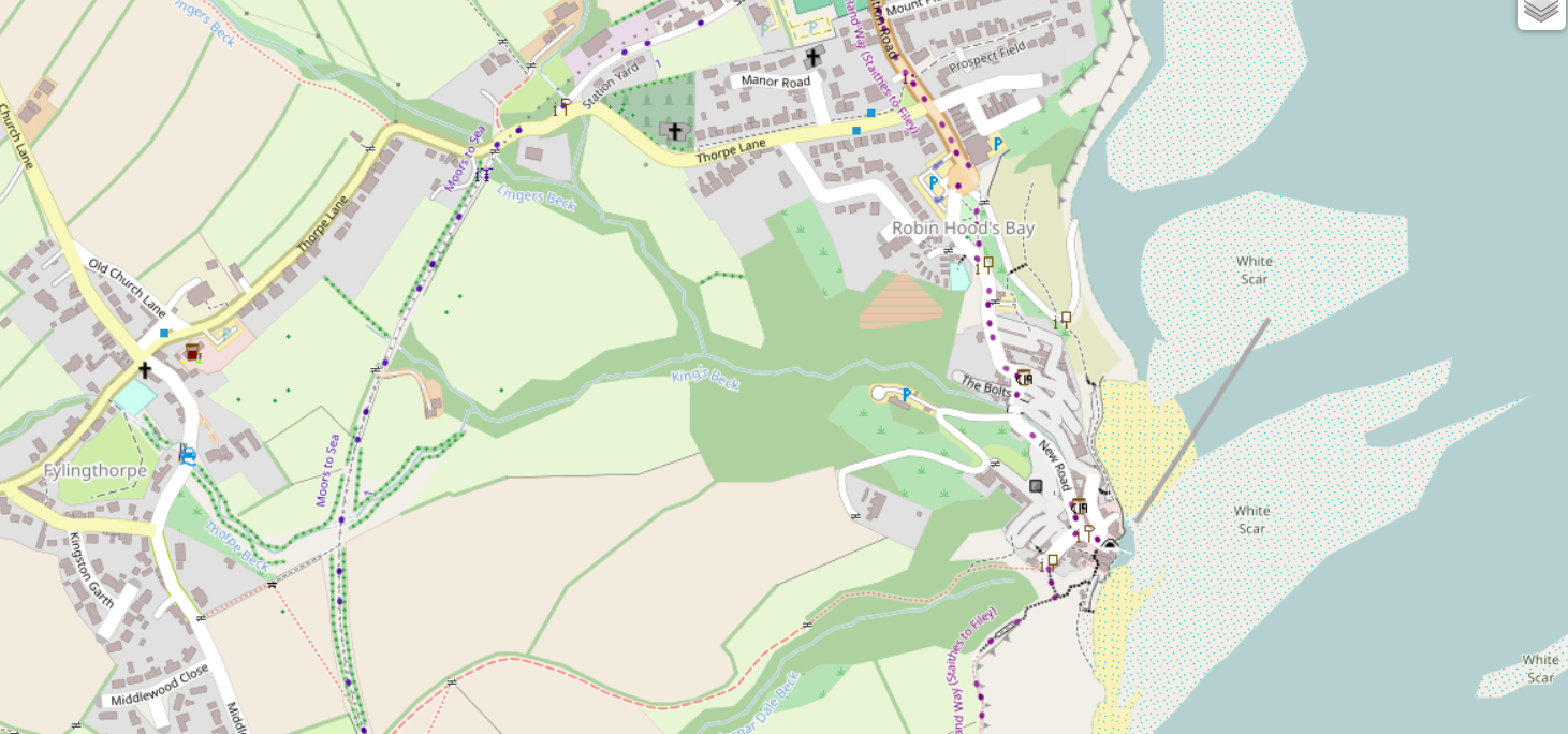
Tidal rocks, beaches and mud etc. are shown with blue dots:
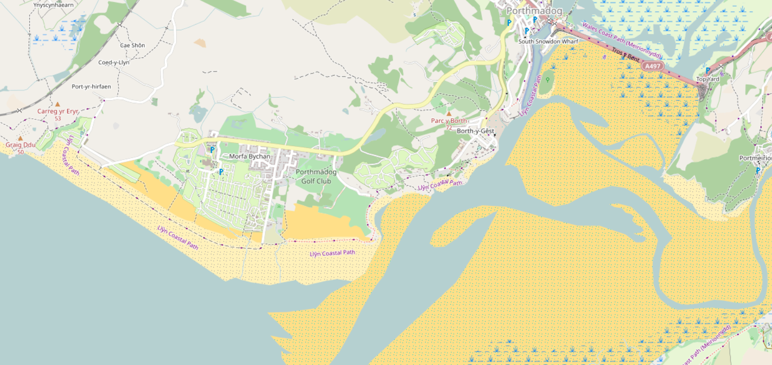
The fact that OSMers mapped tidal sand and rock different to non-tidal was something of a surprise to me, but it is mapped consistently.
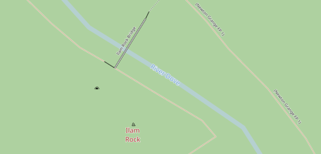
Prominent single rocks are shown in black:
climbing boulders with a green flash:
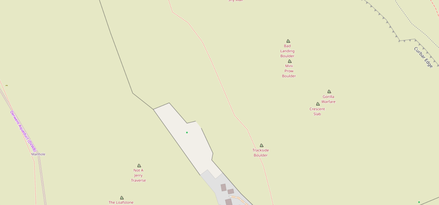
and that’s different again to artificial (for example, indoor) “climbing walls” that are shown in all green.
Historic and archaeological features
People who know more about the subject than me have labelled historic tagging in OSM as a bit of a mess. One basic problem is that different tags are used for graduations of the same thing, like these examples:
- historic=castle
- historic=ruins; ruins=castle
- historic=archaeological_site; archaeological_site=fortification; fortification_type=castle
In addition, there are roughly three different parallel way to break down “historic=archaeological_site” -
- archaeological_site/site_type=
- fortification_type=
- historic:civilization=* (and even then there’s variation, like “historic:period=*”)
Sometimes I’ve had to use these subtags to determine what things “really are”, so there are a lot of entries at taginfo where this map is the “only consumer” of certain types of data. The resulting tree diagram where multiple paths lead to the same branch is worth a separate discussion in its own right, but for now let’s just look at the pictures :) .
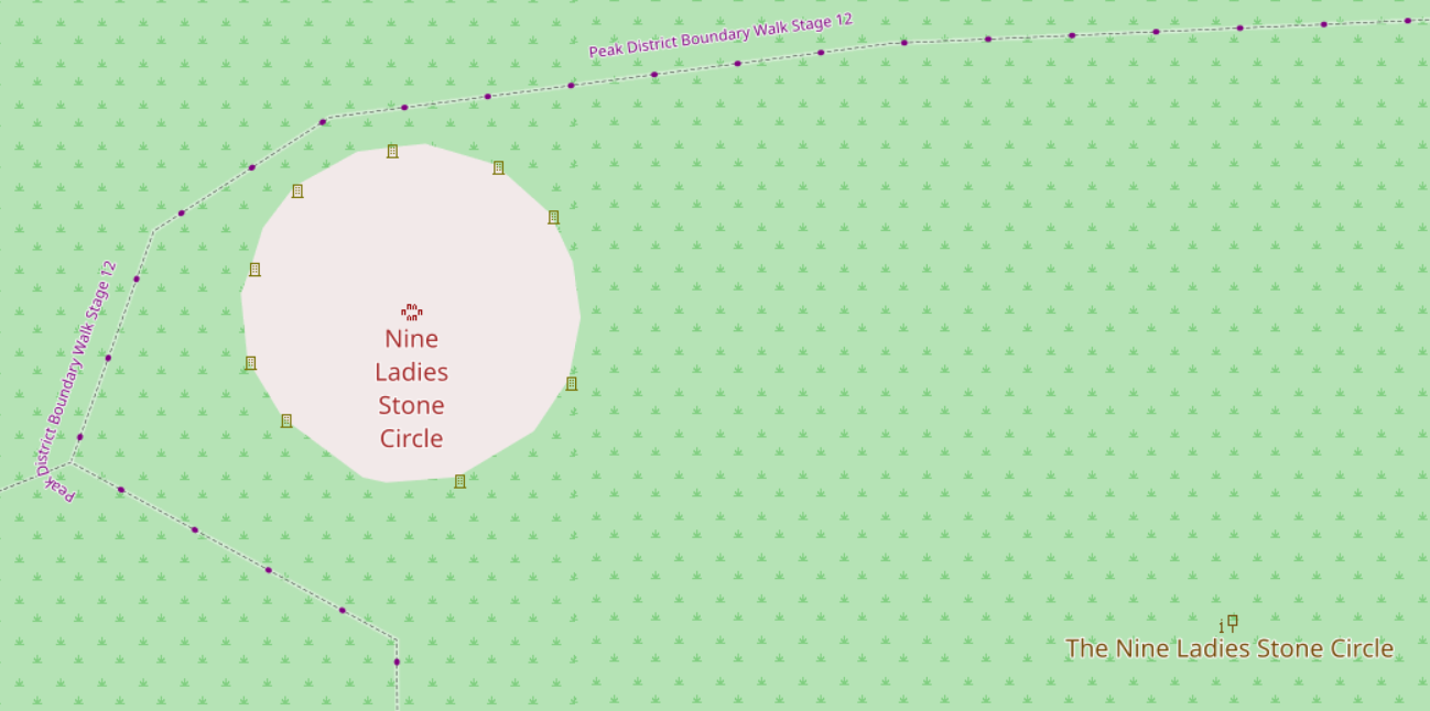
However, in amongst the confusion, it has been possible to show many more archaeological features individually, including stone circles:
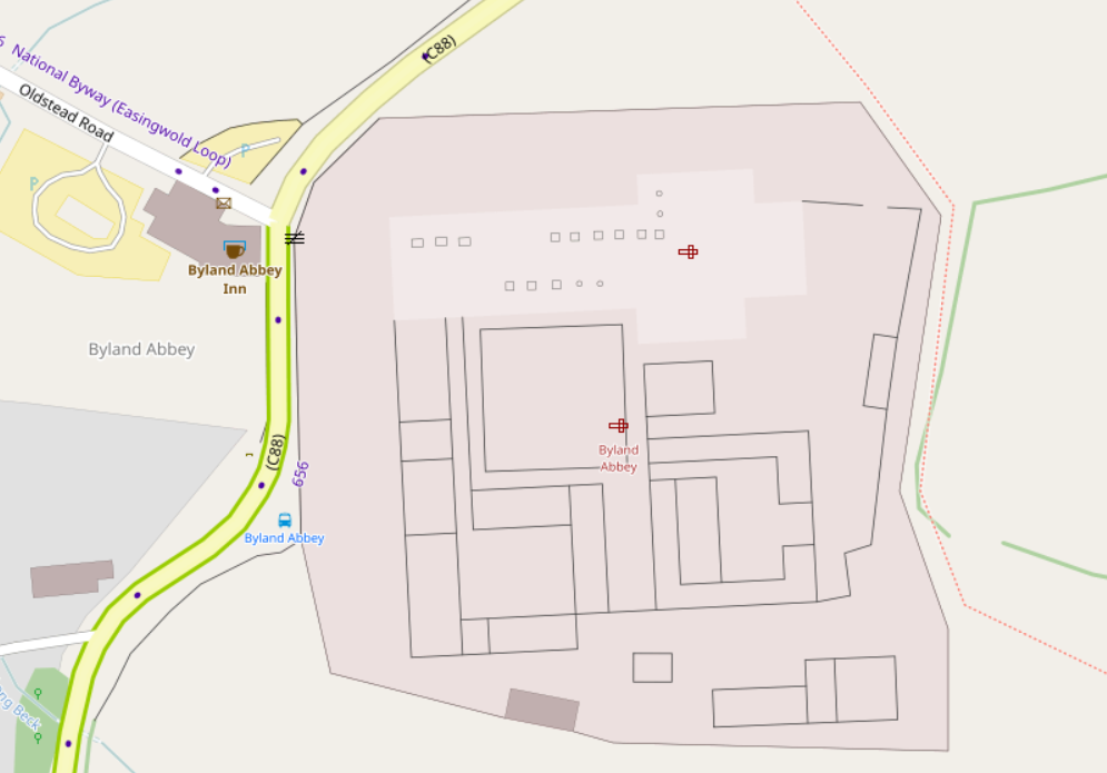
More historic features have unique icons, like this monastery:
There are lots of other examples, as can be seen in the legend here:

Discussion