Checking for changes to Long Distance Paths
Posted by SomeoneElse on 30 July 2021 in English. Last updated on 15 October 2021.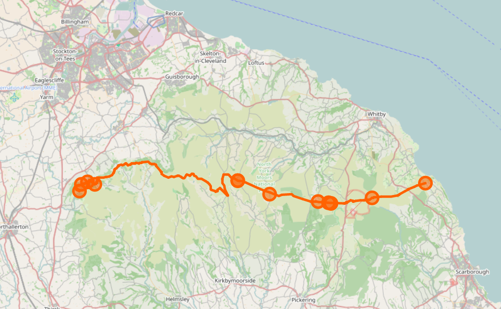
Previously I wrote about checking National Parks in Britain and Ireland for breakage, by counting the number of valid polygons in a rendering database.
A similar approach can also be used to check line features as well as polygons. It’s possible to count the number of contiguous sections of a given polygon. For example, here’s the Lyke Wake Walk, which is in one piece:
psql -d gis -c "SELECT count(*) FROM planet_osm_line WHERE (osm_id = '-1996318');"
 count
-------
     2
(1 row)
and here is the Sabrina Way, which isn’t:
psql -d gis -c "SELECT count(*) FROM planet_osm_line WHERE (osm_id = '-537430');"
 count
-------
    12
(1 row)
If something is changed in OSM that introduces an extra piece, or fixes a gap, that number will change. This script can be used to count the change in the number, like this:
Change in relation components for Sabrina_Way 537430
3c3
<     12
---
>     13
If run from cron it can check every day and will only send an email alert when the number changes.
If there is a change, and can be investigated with a site such as http://ra.osmsurround.org/analyzeMap?relationId=6361532.
Edit 2: Also useful is the answer to this help question that looks for modified ways that make up a relation.
Edit 1: Where this process falls down is where a very long-distance path is added a superrelation and there’s a gap between the relations, which is what this changeset was fixing. Here two long several relations make up two super-relations that share some of their route. For completeness, the edit that I was fixing that created a gap in the Cleveland Way was actually fixing a previous edit of mine that introduced an unwanted spur to E2 at this location.
Discussion