
OpenStreetMap iD / OpenStreetMap ArcGIS comparison
Posted by mpulve on 22 April 2024 in English. Last updated on 25 April 2024.Why is OpenStreetMap ID not updated like OpenStreetMap ArcGIS?
These are two different datasets that need to be linked/updated!
Is ArcGIS taking over for OpenStreetMap and requiring a fee?
ArcGIS needs to update OpenStreetMap ID if they participate!
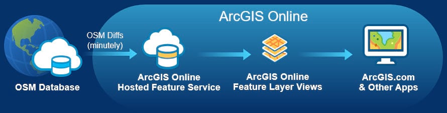
OpenStreetMap ArcGIS has not updated dataset in months!
Please help with coordinating these two data set updates!
Otherwise this in-browser edition will soon be obsolete!
Use ArcGIS to compare your area with the link listed: ArcGIS OSM
Are there any differences? Can anyone explain why?
On the ArcGIS OSM there are more buildings that they imported from datasets.
They should have updated the OSM ID data sets to match their information.
Now there is a ArcGIS OSM version 2 that appears to be replacing ID OSM…
Discussion
Comment from Xvtn on 22 April 2024 at 21:27
The iD editor at openstreetmap.org reflects the current OpenStreetMap data. I’m not sure what source you’re using for ArcGIS. You may get a better answer by posting a complete description of your situation on our forum.
Comment from Xvtn on 22 April 2024 at 21:28
Oops, not sure what’s going on with the link there. The forum is at community.openstreetmap.org .
Comment from SimonPoole on 23 April 2024 at 08:20
@mpulve could you provide a link/screenshots to what you are using and that show the issues? As it is now your posting is quite puzzling.
Comment from Richard on 23 April 2024 at 10:00
At the risk of stating the obvious, ArcGIS is developed by a company with a budget of $1.1bn, while the OpenStreetMap Foundation has a budget of about £27.50 and one full-time employee. I’d honestly suggest if you have a problem with ArcGIS, you ask the $1.1bn company.
Comment from Magick93 on 24 April 2024 at 17:02
I think I know what you mean.
The ArcGIS map you linked draws and shows data from multiple sources (Esri, HERE, Garmin, OpenStreetMap, Microsoft, Facebook, and others). And a huge cross import between all sources to OSM would be extremely challenging.
My best bet is to keep improving OSM. Cheers!