OpenStreetMap logo OpenStreetMap

rphyrin's Diary

Recent diary entries

OpenStreetMap Indonesia, in partnership with TomTom, organised a Community Mapping Party at GoWork Plaza Indonesia in Jakarta on Saturday, 26 April 2025.


Planning

January 23, 2025 – 17:05 WIB

“For those living in the Jabotabek area, how about we hold our first offline monthly talk next time and align it with the TomTom Mapping Party event?”

Initial discussions about hosting an offline gathering began among members in the Greater Jakarta area. A suggestion was made to align the monthly community meeting (usually held online, but in this proposal, it will be held offline for the first time) with an upcoming Mapping Party event organized by TomTom. The idea was presented in an open-ended way, inviting members to consider the possibility when time allowed.

January 30, 2025 – 08:34 WIB

“It might be better to hold it before Ramadan.”

The conversation picked up pace, with another participant suggesting that it would be preferable to hold the event before the fasting month (Ramadan) began. The comment hinted at the logistical advantages of scheduling it earlier.

February 3, 2025 – 11:01 WIB

“If it is held before Ramadan, preparation time would be very tight. It has been proposed to schedule it after Eid, possibly in mid or late April, and a response is still awaited.”

It was mentioned that holding the event before Ramadan might be too rushed given the short preparation time. As a result, a new proposal was introduced: to hold the Mapping Party after the Eid al-Fitr holiday, possibly in mid to late April. Final confirmation was still pending at that point.

March 23, 2025 – 14:28 WIB

“If we hold an offline mapping party and meetup at the end of April 2025 somewhere around Jabodetabek, would participants be able to attend?”

See full entry

Verschiedene Auszüge

Posted by rphyrin on 11 April 2025 in English. Last updated on 13 April 2025.

“Before 2011, if you asked most cartography professionals, they’d say OpenStreetMap was a toy. The turning point for me was a photo of a firefighter from a search and rescue team using a handheld GPS device—they used OSM maps to coordinate efforts after the Haiti earthquake.”

“During natural disasters like Haiti in 2011, nearby countries send search and rescue teams, and organizations like Doctors Without Borders and the Red Cross deploy. They requested a map to set up a field hospital. The Haitian government was basically like, “What? How?” So you go to Google Maps, right? Like anyone would. But there was nothing—Haiti had no commercial map coverage at the time. Even if there had been, it was likely destroyed. Then we showed up—just four OSM geeks—because nobody else cared about geographic data. With the help of 500 volunteers with iPhones, we mapped the entire street network of Port-au-Prince in a week. That map allowed NGOs to move through the city and save lives. It was a turning point—after that, the World Health Organization started listening to us.”

Flyers (April 3, 2025) “Expertos en cartografía: OpenStreetMap es la Wikipedia de los mapas” Medio Multimedia


See full entry

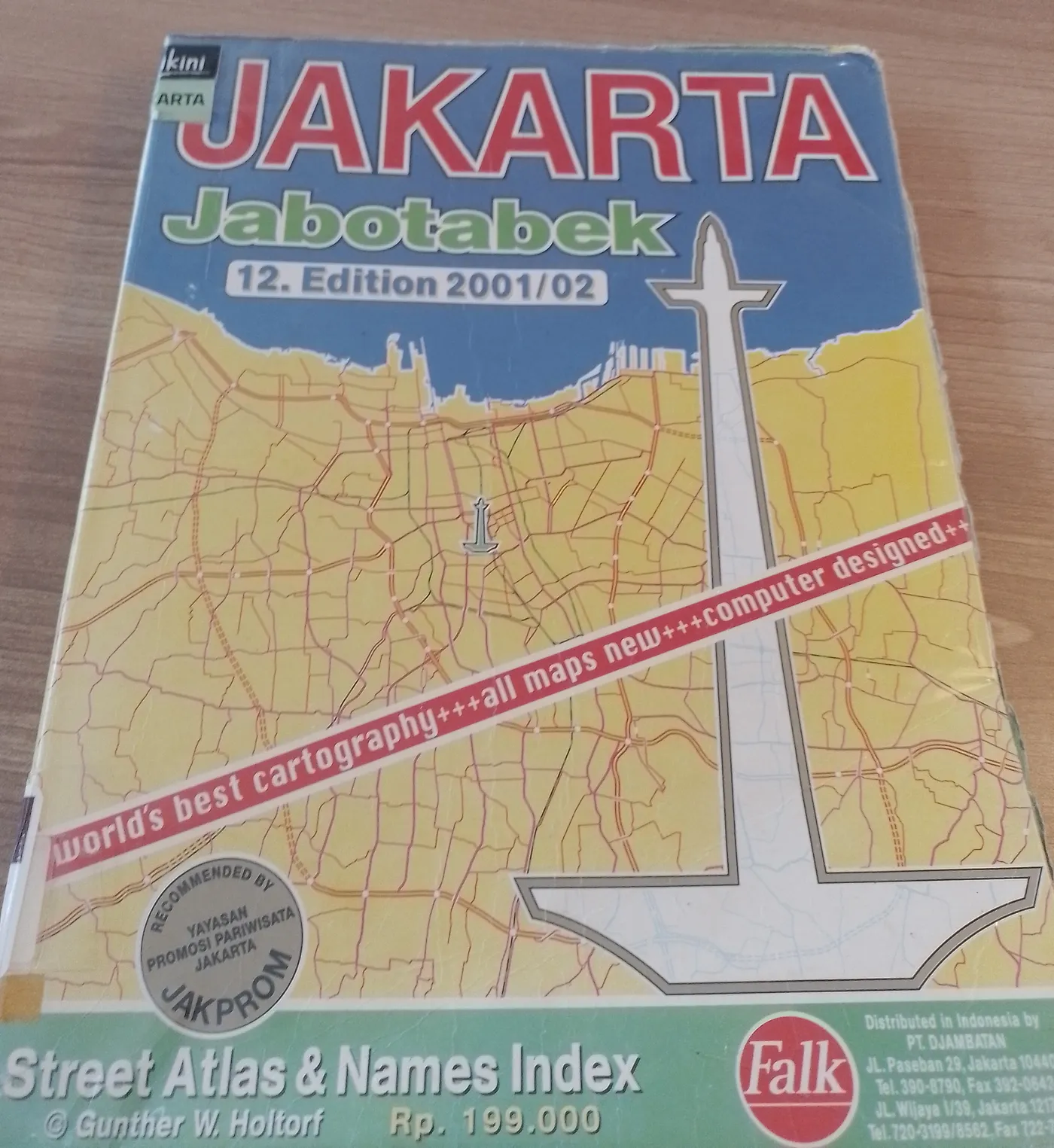
In 1973, Gunther W. Holtorf was assigned as the manager of Lufthansa in Indonesia.

From his first year working in Jakarta, many friends and visitors from abroad frequently asked him to act as their guide in the city. To assist his guests, despite having no formal background in cartography, he began sketching maps of Jakarta. His work proved useful and well-received, encouraging him to create a more detailed and comprehensive map of the city.

To achieve this, he initially approached the Jakarta City Planning Office. Instead of obtaining the topographic maps he sought as a base, he only found outdated maps of the city. This situation led the local civil servants to encourage him to produce a new map.

Gunther accepted the challenge. Every weekend, he explored Jakarta, navigating its narrow alleys and streets by foot, bicycle, and car. In addition to his weekend excursions, he also dedicated time each morning from 6:00 to 9:00 before heading to his office.

See full entry

Tagging For The Renderer

Posted by rphyrin on 18 March 2025 in English.

There’s a saying in a certain article on the OpenStreetMap wiki that “tagging for the renderer” is equivalent to “lying to the renderer.”

Not only that, but the article also restricts the definition and meaning of “tagging for the renderer” as “the bad practice of using incorrect tags for a map feature so that they show up in the mapper’s renderer of choice. Such tagging goes against the basic good practice principles.”

I think that “tagging for the renderer” as a term should first be treated as neutral. On its own, there is no implication that “tagging for the renderer” forces us to lie to the system. Sometimes, people want to do tagging for the renderer simply because they want to place cool symbols around their area in OSM Carto.

Take me, for example.

Several months ago, I decided to download the entire openstreetmap-carto GitHub repository to analyze all of the (cool) icons contained within it and determine which tag combinations were needed to summon such icons on the OSM default map tile.

I found that the charging station icon was really cool. I loved its light blue color scheme, and its visibility on the map tile was quite good—it was already displayed at zoom level 17, on par with bank, gallery, and embassy icons.

I wanted to place this icon around my neighborhood soon. But alas, I didn’t know where any charging stations were located. So I shelved this idea for weeks and months.

Then, during a work trip to Bandung, while walking past the campus I attended as a student several years ago, I finally saw one. A charging station in the wild! It was stationed right in front of the parking area of the Labtek V building.

I was so elated—it felt like finding a legendary Pokémon in the wild! At that moment, I immediately stopped walking, opened Vespucci, and mapped the charging station.

See full entry

Severe floods and landslides devastated Sukabumi Regency, West Java, after two days of intense rainfall, with over 100 mm of rain falling in a short period, according to the Meteorology, Climatology, and Geophysics Agency (BMKG). On Wednesday, December 4, the overflow of the Cikaso and Cibening Rivers inundated numerous areas, displacing residents and severing access roads. The hardest-hit areas included Palabuhanratu, Sagaranten, and Pabuaran. Floodwaters reached heights of 80–90 cm, submerging homes and halting transportation.

In Sagaranten, neighborhoods like Kampung Rangcabungur faced dramatic rescue operations as narrow alleys flooded waist-deep. Rescue teams, battling strong currents, evacuated several infants and their mothers. “We successfully rescued two to three babies. It was a tense process, but thankfully, everyone was saved,” said the Head of the Sukabumi Police’s Samapta Unit.

See full entry

OpenStreetMap - Debian 12

Posted by rphyrin on 30 November 2024 in English.

Concept : I will read OSM-related news, summarize passages from all the web links related to that news, and then post them here.

My main intention is to learn about it in depth.


January 29, 2023

On running sudo apt update, users will get a notification similar to this, stating that several packages from the universe repository have security updates that require Ubuntu Pro:

The following security updates require Ubuntu Pro with ‘esm-apps’ enabled: imagemagick libopenexr25 libmagick++-6.q16-8 libmagickcore-6.q16-6-extra libmagickwand-6.q16-6 imagemagick-6.q16 libmagickcore-6.q16-6 imagemagick-6-common

February 10, 2023

Currently we run a combination of Ubuntu 20.04 LTS and Ubuntu 22.04 LTS across our server estate.

Ubuntu 20.04 has recently moved away from the established 5 years of maintenance updates and now requires a paid Ubuntu Pro plan to receive some package security updates.

We’ve also had issues with Ubuntu not fully supporting the packages they source from Debian (e.g. : Apache2 which required us to backport a fixed version to workaround an issue affecting mpm event scaling).

Ubuntu has also caused us issue with some packages now only being distributed as snap packages (e.g. : Firefox).

February 20, 2023

Your Ubuntu LTS is still secured in exactly the same way it has always been, with five years of free security updates for the ‘main’ packages in the distribution, and best-effort security coverage for everything else. This has been the promise of Ubuntu since our first LTS in 2006, and remains exactly the same. In fact, thanks to our expanded security team, your LTS is better secured today than ever before, even without Ubuntu Pro.

Ubuntu Pro is an additional stream of security updates and packages that meet compliance requirements such as FIPS (Federal Information Processing Standards) or HIPAA (Health Insurance Portability and Accountability Act), on top of an Ubuntu LTS.

See full entry