
Mapping & Hiking: how to collect open data while having fun
Posted by Robot8A on 30 April 2025 in English.Cross-posted from https://odeco-research.eu/?p=4999
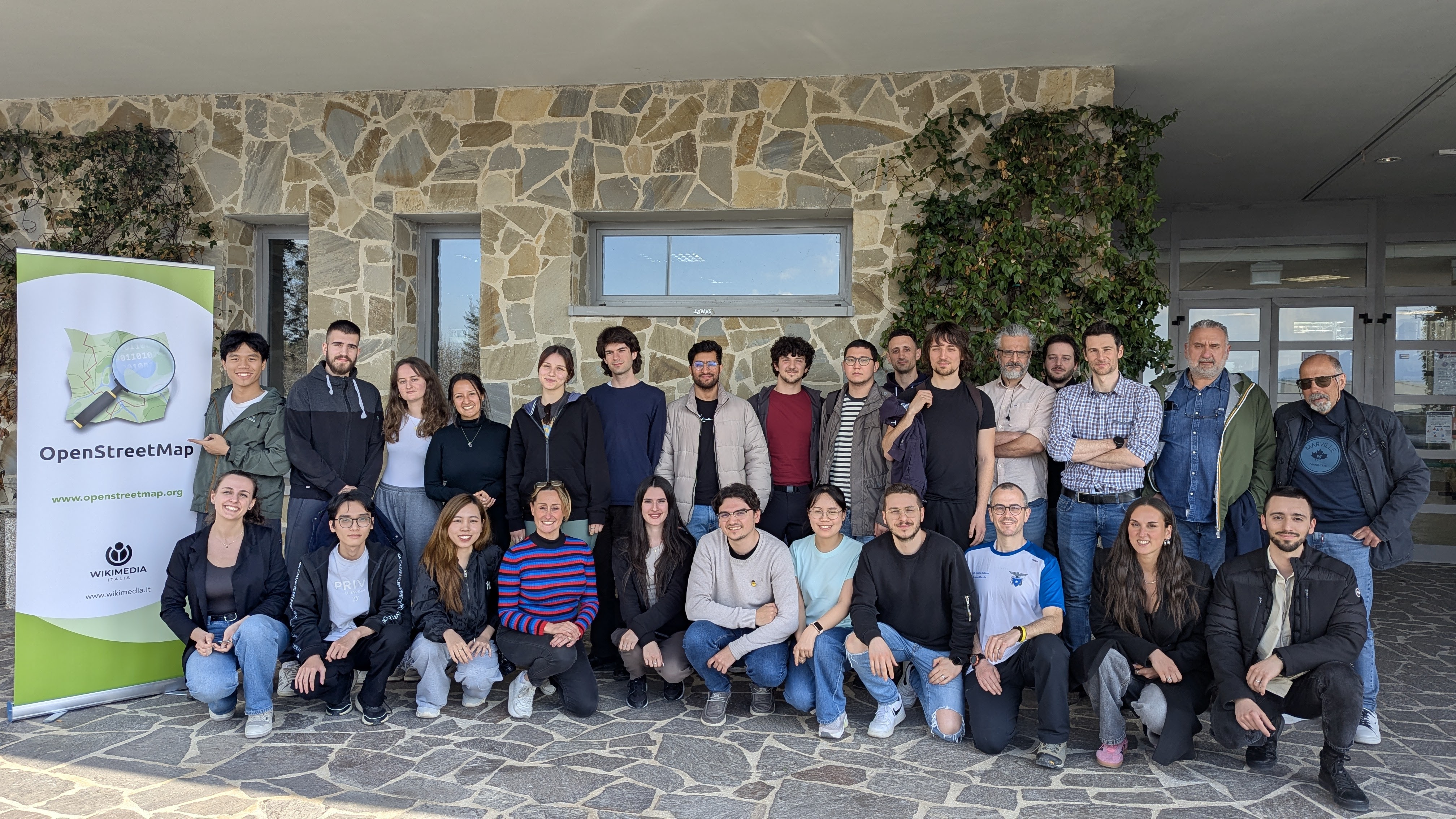
On Thursday, the 10th of April 2025, we celebrated the event “OpenStreetMap: Mapping & Hiking” at the University of Camerino, Italy. After two months of preparation, the event was well-received and had a diverse and satisfied crowd.
OpenStreetMap (OSM) is a collaborative geographical database of the world. Millions of people use its data, and also millions contribute to it in various ways. However, there are still places where there is no strong local community, where its villages and rural areas are heavily undermapped. Camerino, while the town itself is well mapped, has some incredible nature and cultural spots nearby, which needed an update. As well, being a university town with students coming from all corners of Italy and the world, makes it a prime location for engaging in outreach activities and kickstarting a community.
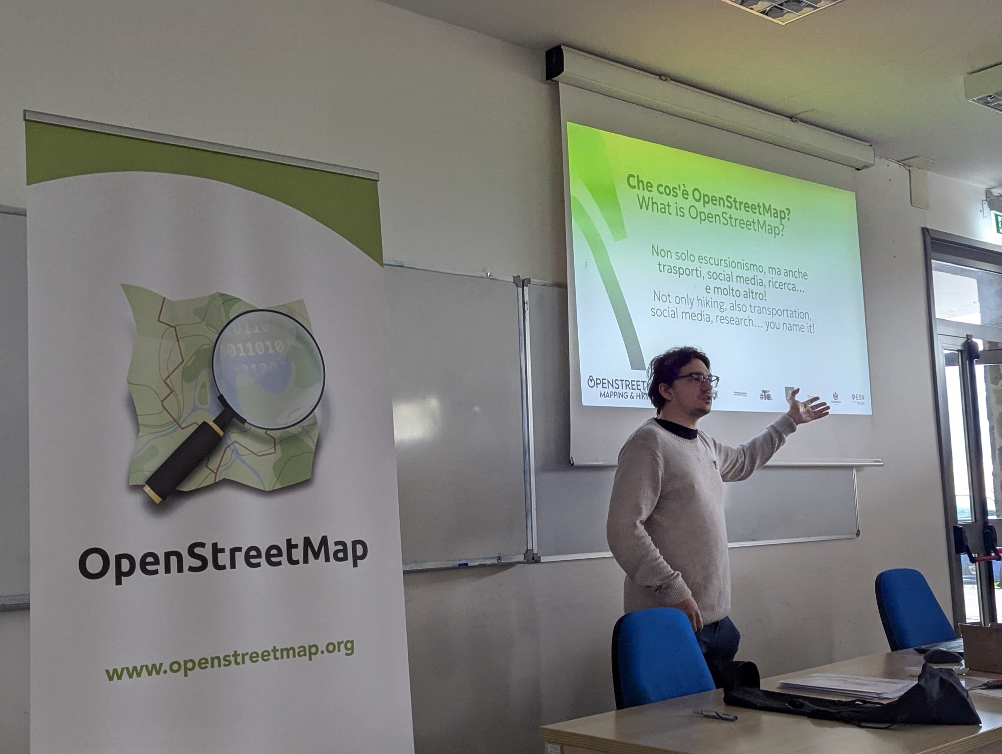
The event started at 9:00, with an introduction to OSM and its use in hiking apps, followed by some words from the organzations that helped out in making the event a reality: PoliMappers, Club Alpino Italiano Camerino section, Knoway Systems, #ToDo Student Association, University of Camerino Computer Science section, TomTom, Wikimedia Italia and ESN AURE Camerino. Polimappers’ Dina Jovanović Lombardo performed a guest lecture, explaining the origins of their YouthMappers chapter at the Politecnico di Milan, which includes events and social activities, as well as training the next generation of mappers, and helping them to develop their skills. The introduction ended by splitting the group into smaller subgroups for the hiking, and explaining the apps needed for the data collection.
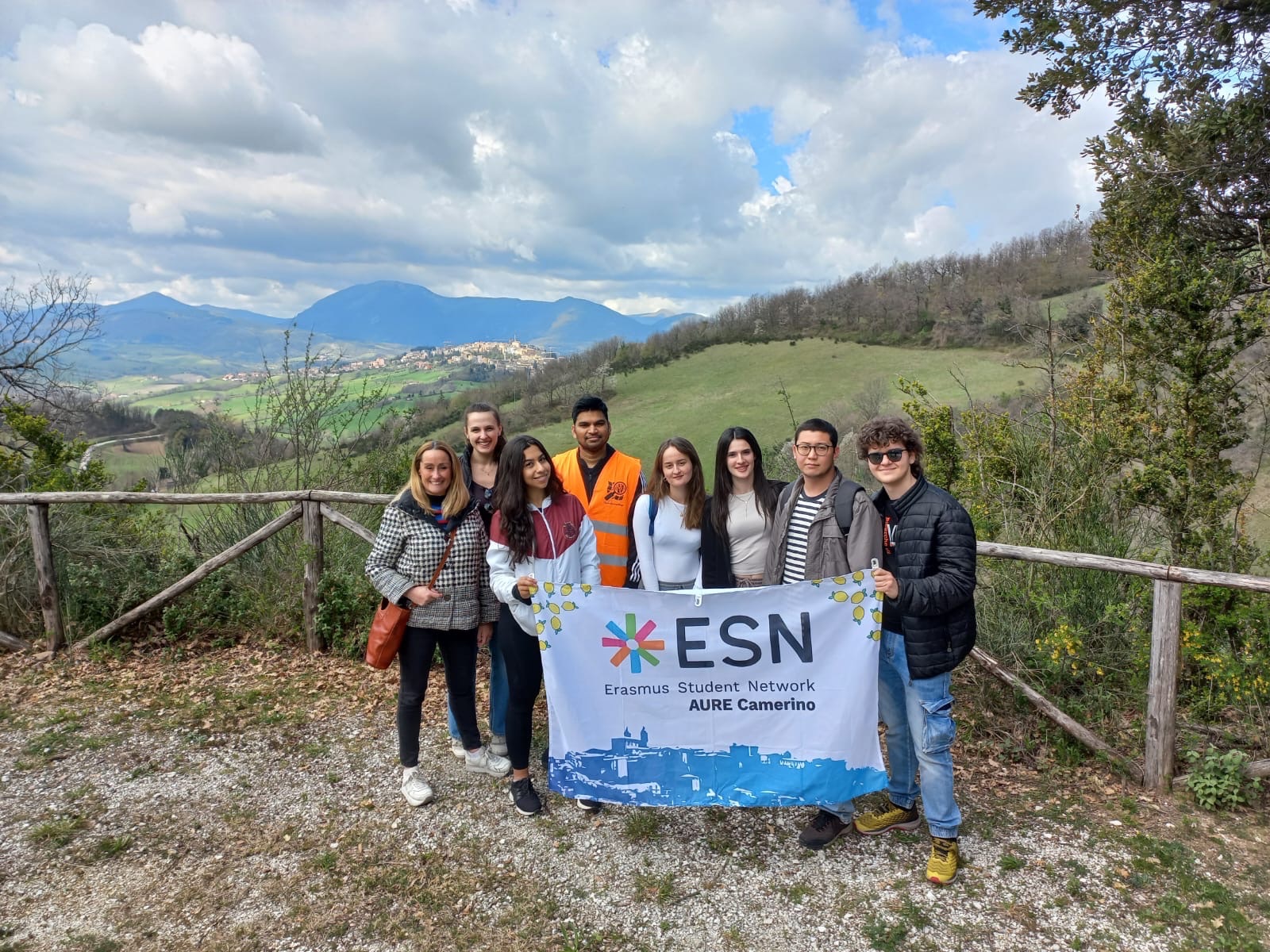
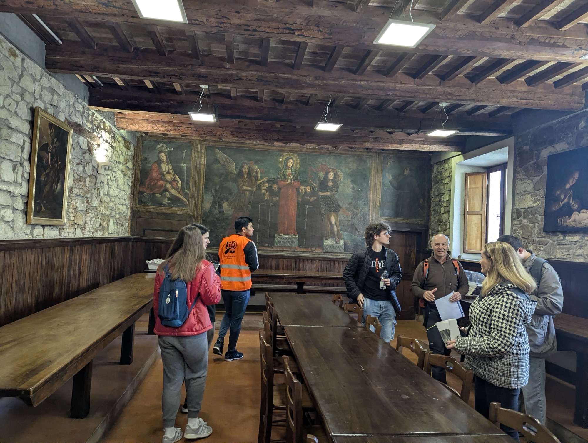
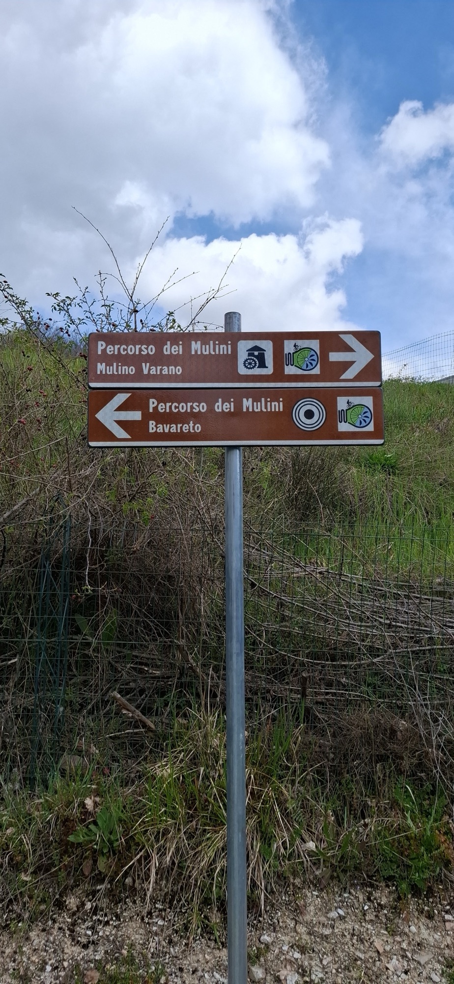
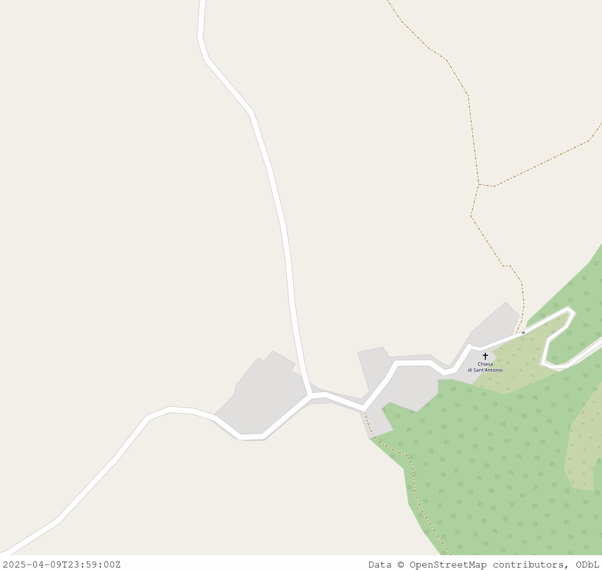
We got onto a shuttle bus that dropped each of the groups onto the start of a trail. Each team was given a route, explained through text and a paper map. As well, each team had instructions on what to map. Each group consisted of, at least, one mapper —using the app Every Door— that collected POIs along the trail, one photo taker whose photos were later uploaded to Panoramax as a sequence, one GPS trace taker, and a guide. The Club Alpino Italiano Camerino section members where guiding the attendees, as well as helped designing the routes beforehand. Each group was given around 3 hours to complete a route that, using an online router, showed a completion estimate of around half of that time. As well, the routes included several cultural locations along the way: convents, churches, mills, canals and small towns.
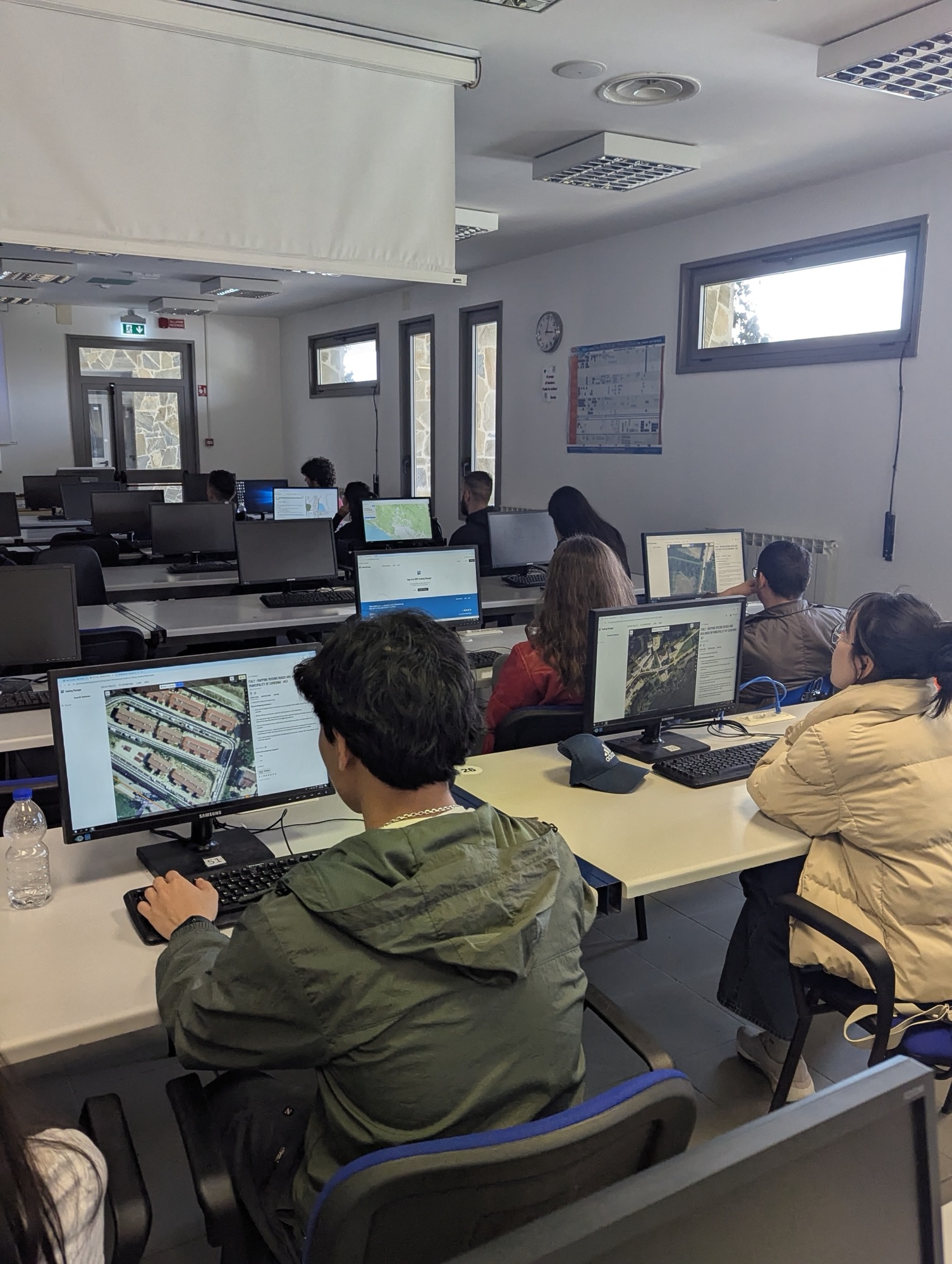
After the hike, the groups were again picked up by the shuttle bus and brought back to the university. We then had lunch together to regain energy for the rest of the day, and chatted about the experience. The afternoon part of the event then started, which consisted of a talk from TomTom’s Chiara Angiolini, who talked about their community-building through events in different countries. After that, the participants were asked to map from their laptops, focusing on completing missing roads and buildings in the villages and hamlets around Camerino.
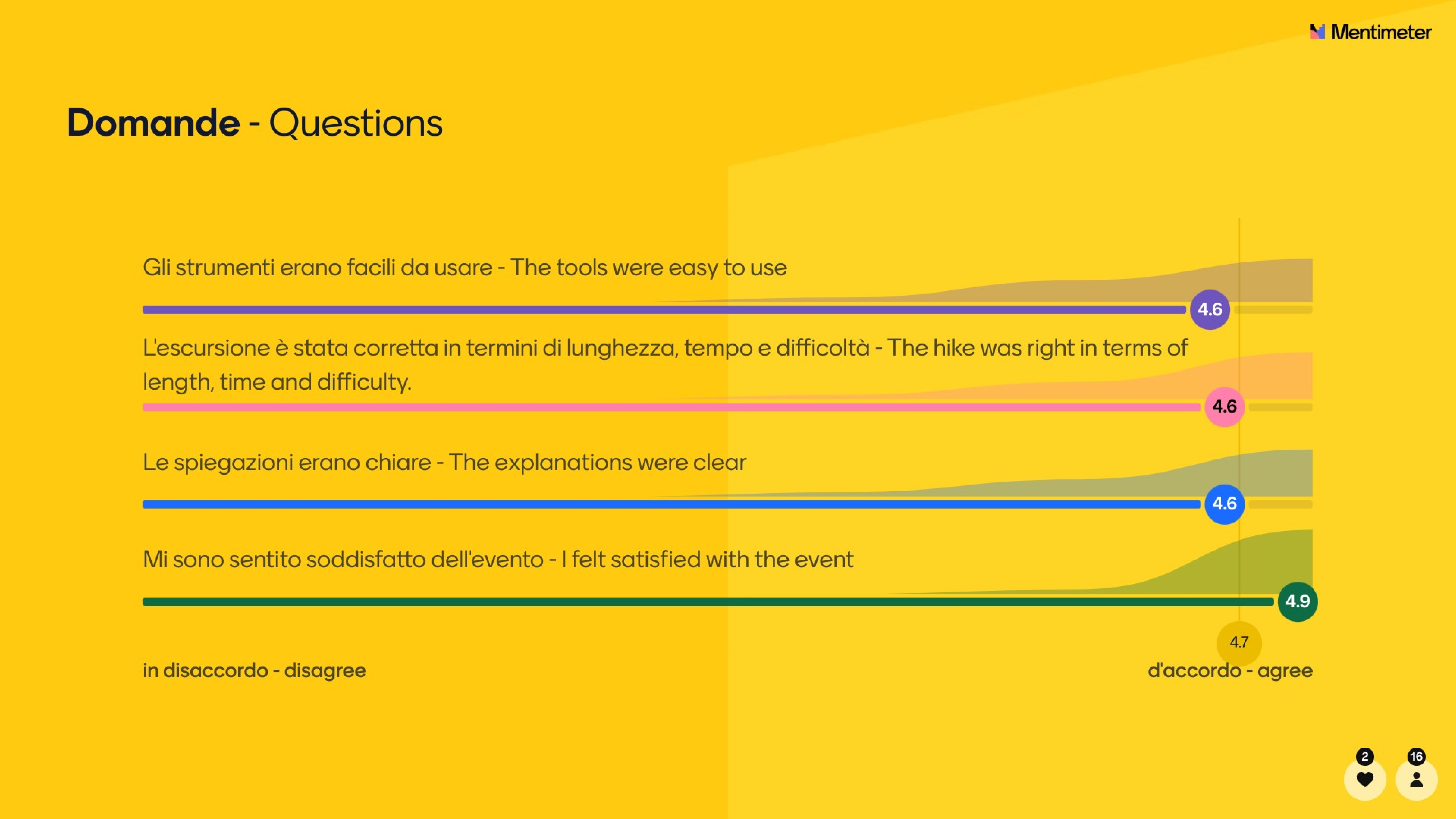
After mapping, Saverio Delpriori, a technician from the regional government (Regione Marche), gave a presentation on the government’s technical infrastructure for geographical information and tourism and its plans to integrate OpenStreetMap data in the future. And finally, it was time for the conclusion, which included a survey. The participants were really happy about the event!
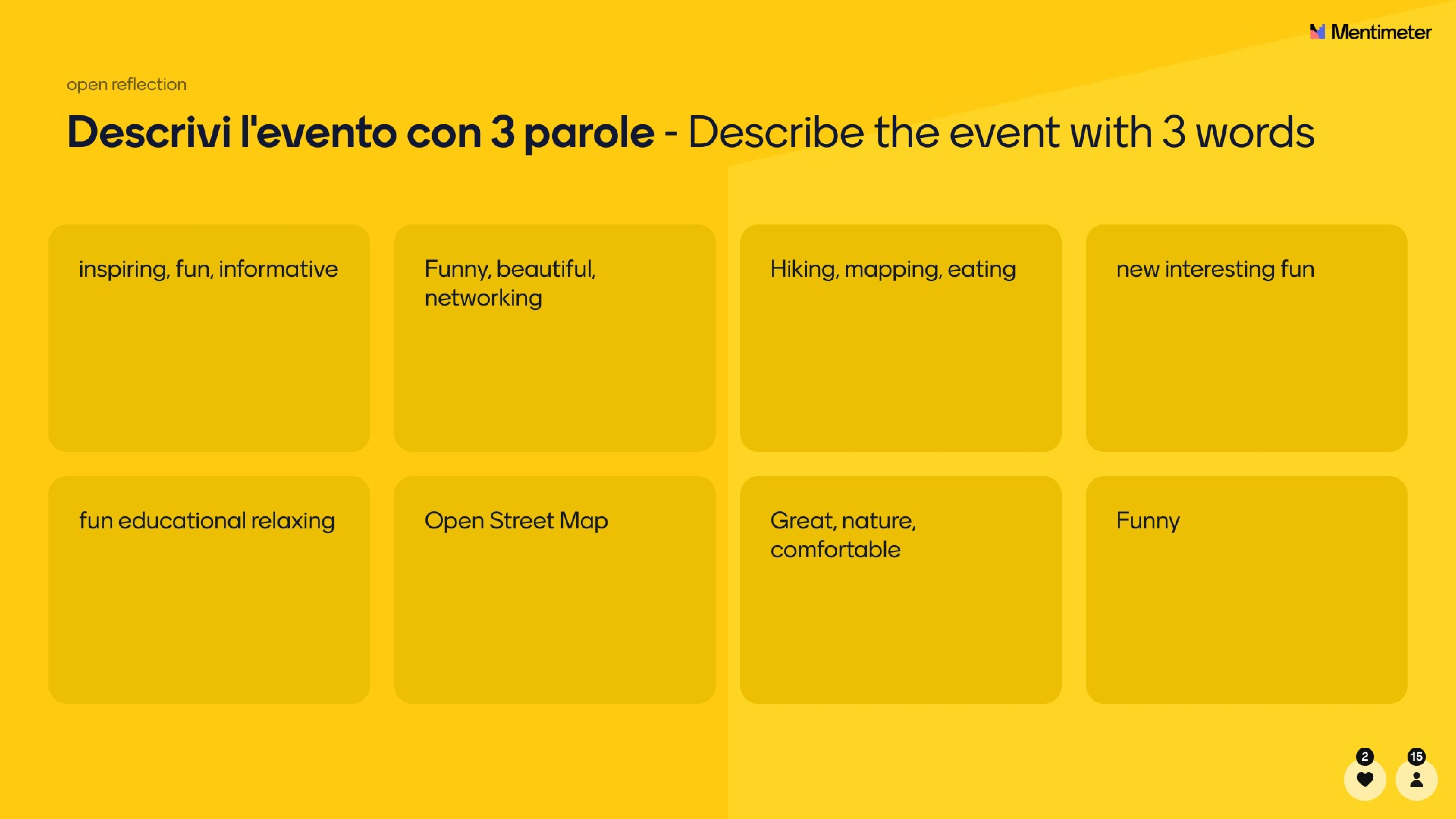
To sum up, OSM events can be fun yet educational! They can also be a great place to make some new friends, do some sport, learn something new, and get to know people working with maps. This event also shows how academia, governments, for-profit and non-profit organizations can all get together to help do community-building in OSM and organize amazing events. See you on the next event!
Héctor’s work at the University of Camerino is financed by the ODECO project. This project has received funding from the European Union’s Horizon 2020 research and innovation programme under the Marie Skłodowska-Curie grant agreement No 955569. Wikimedia Italia financed the shuttle bus and food for the event under their Microgrants program. We thank all the organizations that made the event happen.
Discussion